Mapping marine habitats from space
Sensonomic processed satellite imagery to identify seagrass beds so that they could be protected from development
Challenge
Our client, a large oil major, wanted to minimise their impact on coastal ecosystems in two of the areas where they operate, the Niger delta in Nigeria, and Florida in the USA. However, mapping marine habitats often involves costly manned ship exercises, where habitats are identified at close range. Over large areas this is costly and time consuming. We believed we could provide the same service by analysis of satellite images, using remote sensing techniques to classify seagrass habitats from a distance.
Solution
Given different conditions at the two locations of interest, we investigated two different approaches.
The coastal waters in Florida are clear, with good levels of detail available even with freely available 10m resolution Sentinel satellite imagery. We processed and analysed a Sentinel scene, and were able to classify two categories of seagrass – sparse and dense. This project shows us that marine habitat mapping in these kinds of waters is feasible with satellite data only, and can be automated and delivered quickly at low cost.
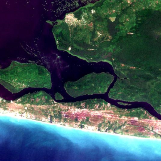
The cloudy waters of the Niger delta, however, required a different approach. Here we were able to access very high resolution Worldview satellite data (0.5m resolution) via our client, which helped to enhance our analysis. Three scenes were selected, processed and analysed, however initial indications of seagrass in one image could not be confirmed due to visible seabed changes and lack of in-situ observations. We concluded although some results could be obtained even in very difficult waters, these results must be validated and augmented by in-situ data.
Results
The results of this work has ensured that our client can avoid high value marine conservation areas with confidence when setting up transportation routes and planning new infrastructure.
Where water quality is good, Sentinel 2 is a very promising candidate for automated and fast seagrass- and marine habitat mapping, and we would like to develop this analysis further.
Get in touch if you have a site that you would like us to analyse.